We develop geoAI algorithms for Earth observation, powered by foundation-model embeddings, semantic search and agentic AI. Our technology runs in a sovereign European cloud hosting the full Sentinel archive of the Copernicus Data Space Ecosystem, enabling us to deliver large-scale semantic search, trend analysis and anomaly detection.
Foundation models and agentic systems are opening a new layer of interaction with satellite data. Our research turns petabytes of EO imagery into machine-readable representations, searchable signals and autonomous workflows.
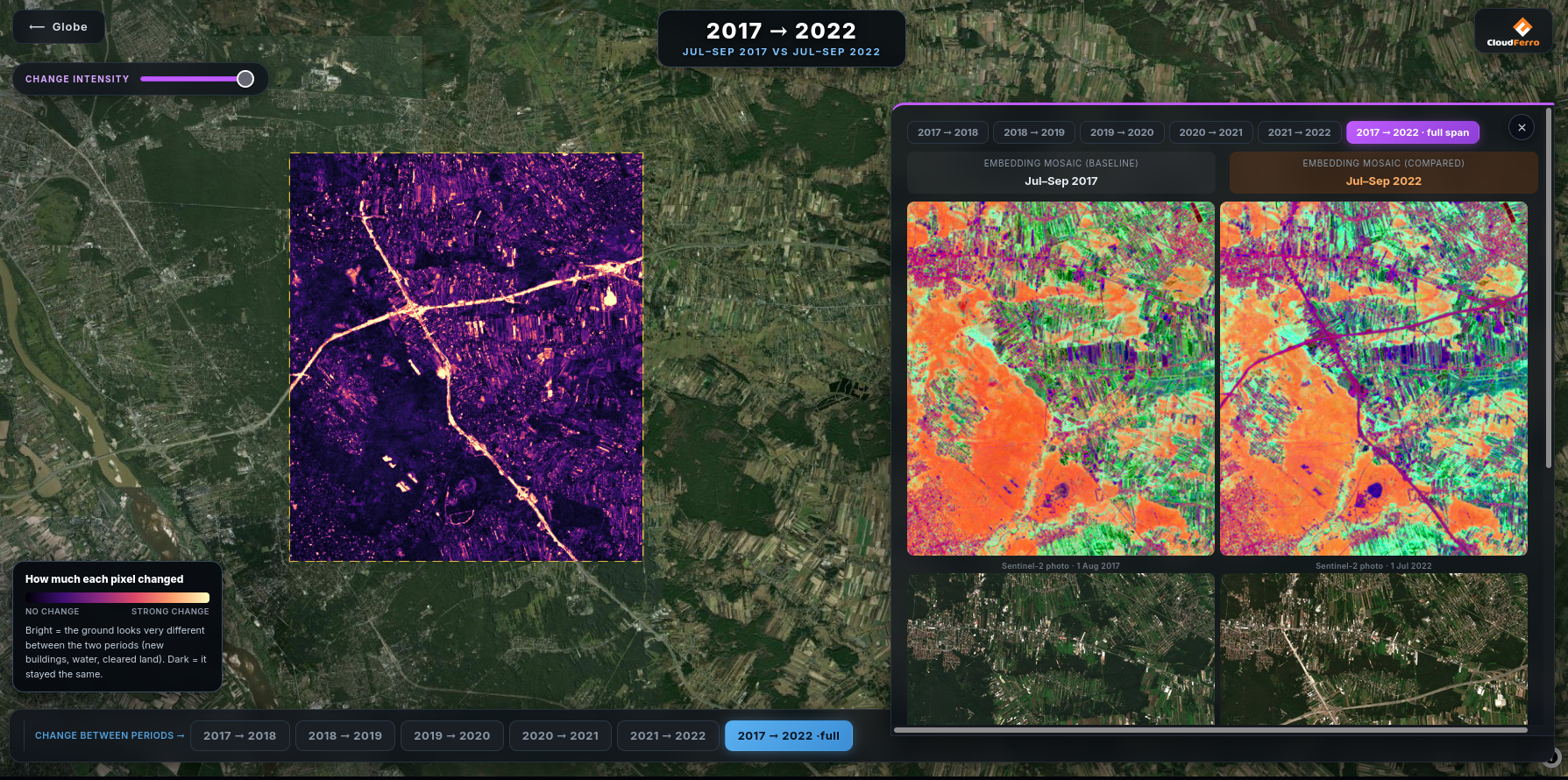
Compact vector representations of satellite imagery from geospatial foundation models. Change detection becomes distance in embedding space: temporal differencing via cosine similarity, linear probing for downstream tasks.
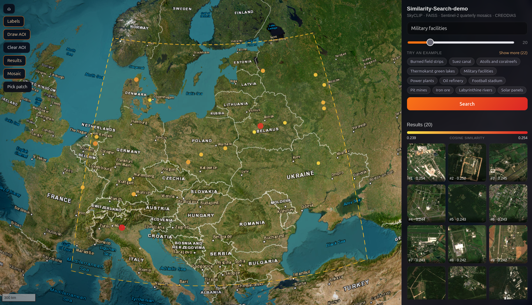
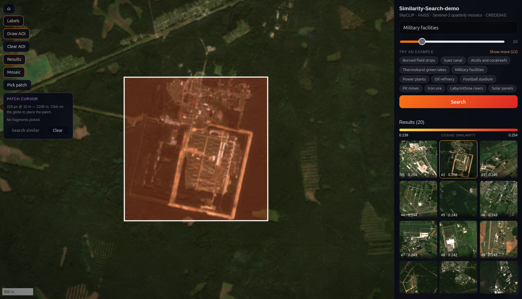
Text-to-image retrieval over Sentinel-2 archives. Vision–language encoders paired with FAISS indexes let you query the planet in plain language: “center-pivot irrigation”, “new solar farm”, “flooded cropland”.
LLM agents that plan multi-step analyses, call Earth-observation tools over MCP and validate their own outputs — from data discovery to flood-extent maps, end to end.
Type a phrase, get matching Sentinel-2 scenes across Europe in milliseconds. Vision–language embeddings over a FAISS index, with an interactive map front-end.
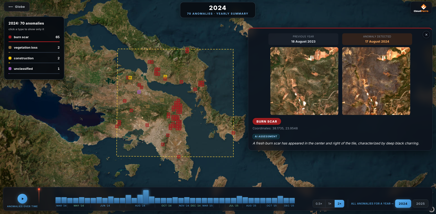
Multi-hazard change detection driven by embeddings: two dates, one cosine distance. Floods, burn scars and land-cover shifts surface without a task-specific model.
Production processors running next to the archive — cloud and shadow masking, SAR pre-processing, super-resolution from 10 m to 2.5 m — ordered on demand, with no data movement.
A growing collection of open Earth-observation training sets held next to the compute — CloudSEN12, BigEarthNet, MMEarth, SSL4EO, TerraMesh, EuroSAT, OLMoEarth and more. Training reads them locally instead of pulling terabytes across the network.
Fine-tuning and benchmarking geospatial foundation models on GPU infrastructure that sits in the same data centre as the Sentinel archive, so no time goes on moving data.
Comparing embedding models on the tasks that matter for a given use case — linear probing, retrieval quality, change-detection sensitivity — rather than on published leaderboards.
Turning a working model into something orderable over an API and runnable at archive scale, with the deployment, monitoring and versioning that implies.
Exposing data discovery, subsetting and processing as tools an agent can call over MCP, so an analysis can be planned and executed without a human wiring the steps together.
Working with teams that have an Earth-observation problem and no appetite for building the infrastructure underneath it. Proofs of concept, joint research, and paths into production.